• About
  • Advertise
  • Careers
  • Contact
Thursday, August 14, 2025
No Result
View All Result
NEWSLETTER
The Seattle Today
  • Home
  • Arts & Culture
  • Business
  • Politics
  • Technology
  • Housing
  • International
  • National
  • Home
  • Arts & Culture
  • Business
  • Politics
  • Technology
  • Housing
  • International
  • National
No Result
View All Result
The Seattle Today
No Result
View All Result
Home Local Guide

Western Washington Under Heat Advisory Through Tuesday as Temperatures Soar

by Danielle Sherman
August 11, 2025
in Local Guide, Weather Forecast
0 0
0
Western Washington Under Heat Advisory Through Tuesday as Temperatures Soar
0
SHARES
3
VIEWS
Share on FacebookShare on Twitter

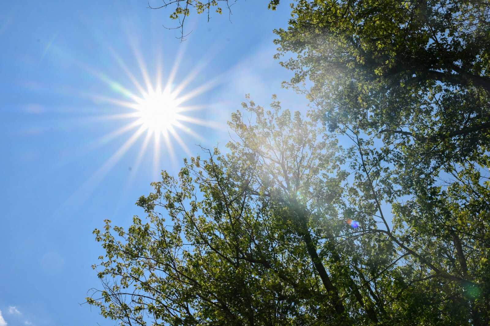
Much of western Washington is set to face intense heat over the next few days, as the National Weather Service (NWS) has issued a Heat Advisory from Sunday afternoon through Tuesday night.

Forecasters say daytime highs are expected to reach the 80s and 90s, with nighttime lows staying in the 60s. In urban areas, temperatures may not drop below the mid-60s, making it difficult for residents to cool off. The advisory covers Puget Sound, Hood Canal, the Cascade foothills and valleys, and the foothills of the Olympic Peninsula, running from 2 p.m. Sunday until 10 p.m. Tuesday.

According to the NWS, a strong ridge of high pressure building over the Pacific will bring “drier and hotter conditions” to the region. This setup could also cause air quality to dip into the moderate range, or even into the “unhealthy for sensitive groups” category in some locations.

The heat is expected to be most intense in the South Sound, the Southwest Interior, and areas near the Cascade foothills, where temperatures could climb into the low to mid-90s on Sunday, Monday, and Tuesday. The coast will be cooler, but even there, inland spots will feel the warmth.

Forecasters note that by late Tuesday, the ridge should weaken, allowing onshore winds to return and coastal areas to cool into the 70s. Interior regions, however, will experience the peak heat before temperatures ease back into the 70s by midweek. Clouds are likely to return during the second half of the week, with a chance of showers toward the weekend.

Tags: air quality alertCascade foothills temperaturescoastal coolingHood Canal heatmidweek weather changeNWS forecastOlympic Peninsula forecastonshore winds returnPacific high pressurePuget Sound weatherSouth Sound heatwaveSouthwest Interior heatWashington temperature dropweekend shower chancesWestern Washington heat advisory
Danielle Sherman

Danielle Sherman

Recommended

Deadly Shooting in Seattle’s Pioneer Square Leaves Three Dead, One Critically Injured

Deadly Shooting in Seattle’s Pioneer Square Leaves Three Dead, One Critically Injured

3 months ago

Seattle Firms Seek Permanent Injunction Against Trump’s Executive Orders

4 months ago

Popular News

  • 5 New Lawsuits Allege Sexual Abuse by Washington Doctor

    5 New Lawsuits Allege Sexual Abuse by Washington Doctor

    0 shares
    Share 0 Tweet 0
  • WA Man Sentenced to Over 13 Years for Possessing Child Sexual Abuse Material

    0 shares
    Share 0 Tweet 0
  • 17-Year-Old Denies Role in Violent Pioneer Square Robbery

    0 shares
    Share 0 Tweet 0
  • Seattle Home Prices Hit Five-Year High as Demand Outpaces Supply

    0 shares
    Share 0 Tweet 0
  • Pierce County Infant Revived with Four Doses of Narcan After Fentanyl Exposure

    0 shares
    Share 0 Tweet 0

Connect with us

  • About
  • Advertise
  • Careers
  • Contact
Email: info@theseattletoday.com

© 2025 Seattle Today - Seattle’s premier source for breaking and exclusive news.

Welcome Back!

Login to your account below

Forgotten Password?

Retrieve your password

Please enter your username or email address to reset your password.

Log In
No Result
View All Result
  • Home
  • Arts & Culture
  • Business
  • Politics
  • Technology
  • Housing
  • International
  • National

© 2025 Seattle Today - Seattle’s premier source for breaking and exclusive news.