


October typically marks the beginning of western Washington’s rainy season, but significant precipitation remains unlikely in the near term despite the region facing a substantial annual rainfall deficit.
Seattle has recorded more than 7 inches below normal precipitation for the year, though the city is slightly ahead of average for October specifically.
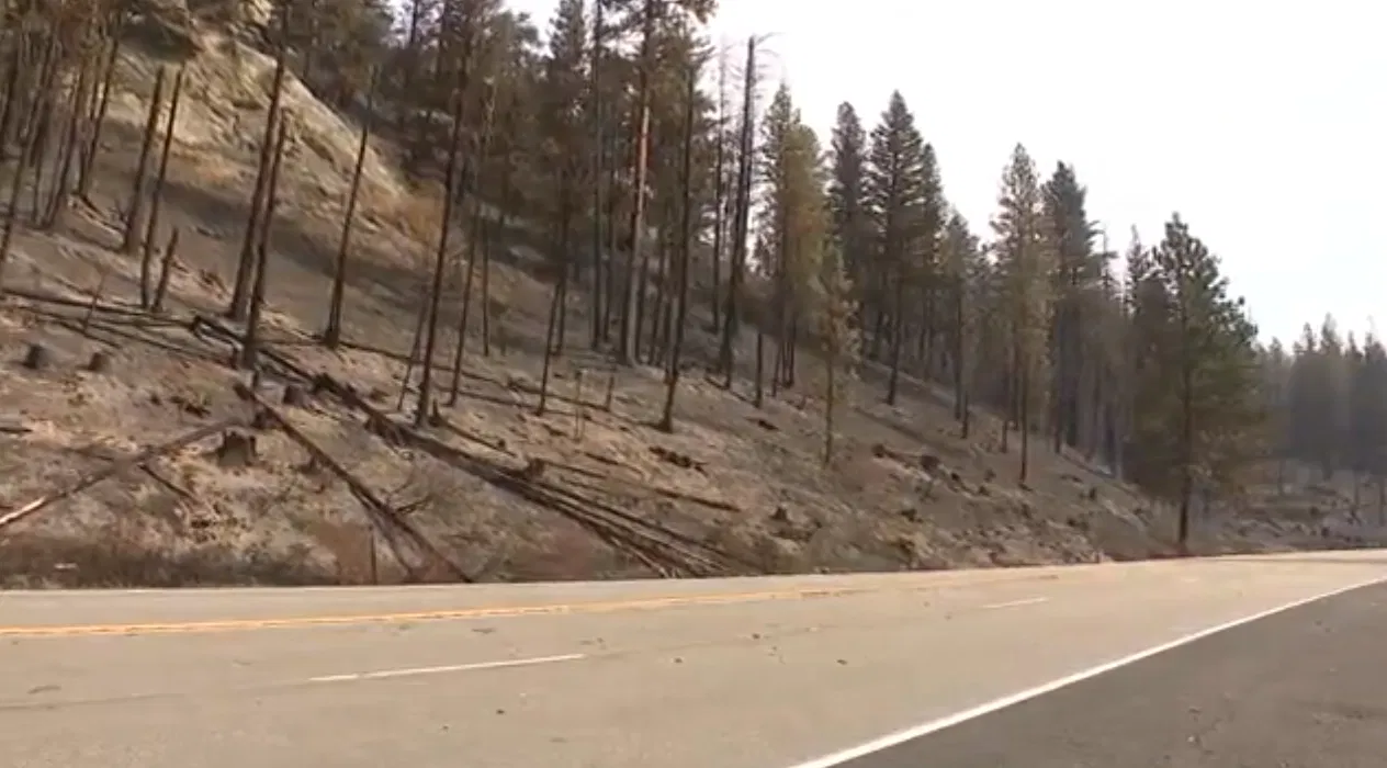
The NOAA drought map shows much of western Washington experiencing severe drought conditions, with the north Cascades facing extreme drought. The Washington State Department of Natural Resources fire danger map indicates most Cascade areas have high fire danger, with north central Cascades showing very high fire danger.
The National Oceanic and Atmospheric Administration’s Climate Prediction Center forecasts a 33 to 40 percent chance of above-normal precipitation beginning mid-October. Government forecasters expect temperatures to remain near normal for western Washington during the same period.
Increased seasonal precipitation would help address the accumulated annual rainfall deficit affecting the region. The current drought conditions have impacted water resources and maintained elevated wildfire risks later in the season than typical years.
October through March typically accounts for the majority of western Washington’s annual precipitation, making the coming months critical for recovering from the current deficit. However, the modest probability increase for above-normal precipitation suggests uncertainty remains about when substantial rain will arrive.
The drought conditions reflect broader regional patterns, with much of the Pacific Northwest experiencing below-normal precipitation through the summer and early autumn months.


