


Strong winds, large waves and substantial rainfall could produce moderate to major flooding along Washington’s coastline and select rivers this week, potentially closing roads, blocking drainage systems and inundating low-elevation properties, forecasters indicated.
“The Skokomish River, that one likes to flood,” stated National Weather Service meteorologist Kayla Mazurkiewicz. “And pretty much anywhere along the coastline is where we could see some coastal flooding.”
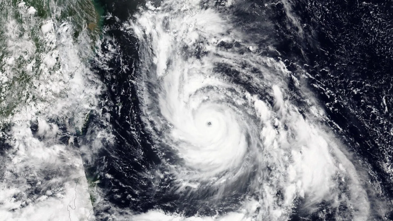
Mazurkiewicz indicated Seattle is expected to experience breezy and damp “typical November weather” through the weekend. Meanwhile, powerful winds, heavy precipitation and 16- to 18-foot waves could impact Washington’s Pacific coast Wednesday and Thursday, producing moderate to major flooding along shorelines from Grays Harbor to Neah Bay, according to the weather service.
“Roads may be impassable,” according to a briefing. “Severe coastal erosion and damage to critical infrastructure are possible.”
Heavy precipitation across Western Washington through week’s end could also produce minor flooding along the Strait of Juan de Fuca and the Skokomish River in Mason County, forecasters indicated. As the windy, wet conditions could bring down leaves and obstruct or clog drains this week, forecasters warned drivers not to drive through barricades or through water of unknown depths.
A typical fall forecast is expected in Seattle, with rain, or at least a chance of precipitation, daily through Monday, and temperatures remaining in the 50s, according to the National Weather Service.
The convergence of wind, waves, and rain creating compound flooding threat, with the simultaneous occurrence of multiple weather hazards amplifying impacts beyond what any single factor would produce as high waves push water inland while heavy rainfall prevents drainage and strong winds drive storm surge creating conditions where coastal communities face inundation from multiple directions.
The Skokomish River’s flooding propensity reflecting geographic and hydrologic factors, with Mazurkiewicz’s characterization that the Mason County waterway “likes to flood” acknowledging the river’s history of regular overflow during intense precipitation events stemming from steep watershed topography, rapid runoff, and limited floodplain capacity to absorb excess water.
The coastline-wide vulnerability spanning Washington’s Pacific shore, with the forecaster’s observation that flooding could occur “pretty much anywhere along the coastline” indicating that the weather system’s scale will impact the entire western seaboard rather than isolated locations requiring widespread preparation across coastal communities.
The Seattle’s typical November weather contrasting with coast severity, with the metropolitan area expecting merely breezy damp conditions while the Pacific coast confronts potentially catastrophic flooding demonstrating how Washington’s geography creates dramatic weather variations within short distances where Cascade Range provides partial protection for Puget Sound lowlands.
The Wednesday-Thursday timing providing limited preparation window, with the two-day severe weather period giving coastal residents and emergency managers brief opportunity to secure property, move valuables to higher elevations, and position response resources before conditions deteriorate requiring proactive rather than reactive approaches.
The 16-18 foot wave heights representing extraordinary ocean conditions, with the predicted swell exceeding typical Pacific Northwest winter storm waves by several feet creating dangerous surf that can overtop seawalls, erode beaches, damage waterfront structures, and sweep unwary beachgoers into frigid waters where survival times measure in minutes.
The Grays Harbor to Neah Bay geographic extent encompassing Washington’s entire outer coast, with the flooding zone spanning from the southwestern harbor town to the northwestern tip of the Olympic Peninsula indicating that the entire 150-plus mile Pacific shoreline faces threats requiring coordinated emergency response across multiple counties.
The moderate to major flooding classification indicating serious impacts, with the National Weather Service’s two-tier warning suggesting some areas will experience significant but manageable inundation while others face potentially catastrophic flooding causing extensive property damage, infrastructure failure, and life-threatening conditions.
The impassable roads prediction threatening transportation networks, with flooded highways and coastal routes potentially isolating communities, preventing emergency vehicle access, and stranding travelers who ignore warnings creating rescue scenarios that endanger both victims and first responders attempting evacuations or medical transports.
The severe coastal erosion concern highlighting long-term impacts beyond immediate flooding, with powerful waves removing protective beaches and undermining bluffs creating permanent landscape changes that increase future flooding vulnerability, threaten clifftop homes, and damage natural habitats that normally buffer wave energy.
The critical infrastructure damage possibility encompassing essential services, with the briefing’s warning suggesting that water treatment plants, sewage systems, power transmission equipment, and communication facilities located near coastlines could suffer damage disrupting services for extended periods requiring expensive repairs and creating public health hazards.
The Western Washington rainfall extent creating regional rather than localized impacts, with precipitation throughout the Puget Sound basin and Olympic Peninsula potentially causing multiple river systems to approach flood stage simultaneously overwhelming emergency response capacity and creating widespread rather than isolated flooding events.
The Strait of Juan de Fuca minor flooding representing additional threat zone, with the inland waterway connecting Puget Sound to the Pacific Ocean experiencing tidal influences and wave action that typically produce less severe flooding than outer coast but still threatening low-lying shoreline properties and transportation corridors.
The leaf fall complication adding drainage concerns, with autumn foliage accumulation blocking storm drains, culverts, and catch basins preventing water from entering designed drainage systems causing urban flooding in areas that would normally handle rainfall volumes when infrastructure operates at full capacity.
The barricade warning addressing dangerous driver behavior, with forecasters explicitly telling motorists not to drive around barriers recognizing that many people ignore road closure signs believing they can navigate flooded sections unaware that even shallow moving water can sweep vehicles away or that hidden washouts might exist beneath water surfaces.
The unknown depth caution highlighting hidden hazards, with the advice not to drive through water when depth cannot be determined addressing the common mistake where drivers assume they can gauge safety by appearance when road surfaces might have eroded, currents might be stronger than visible, or depth might exceed what the vehicle can safely traverse.
The daily rain through Monday forecast indicating sustained wet pattern, with Seattle’s week-long precipitation period typical of Pacific Northwest autumn weather where persistent onshore flow brings recurring storm systems rather than single intense events creating prolonged damp conditions that residents expect but can still cause problems through accumulation.
The 50-degree temperature range reflecting moderate autumn conditions, with the forecast highs and lows remaining above freezing eliminating winter weather complications while providing cool damp environment that characterizes Seattle’s fall shoulder season between summer warmth and winter cold.
The typical November weather characterization normalizing conditions, with Mazurkiewicz’s description attempting to provide perspective that while the coast faces exceptional circumstances, Seattle’s forecast represents unremarkable autumn patterns that residents should expect rather than unusual weather warranting special concern or altered routines.
The forecaster messaging balancing warning severity with geographic specificity, with officials attempting to alert coastal communities about serious threats while reassuring Seattle metro area residents that they face routine weather preventing panic or overreaction in areas not experiencing dangerous conditions.
The compound hazard nature requiring multi-faceted response, with the simultaneous wind, wave, and rain threats demanding that emergency managers prepare for flooding, wind damage, power outages, and potential rescues rather than focusing on single hazard type creating complex logistical challenges coordinating resources across multiple scenarios.


