


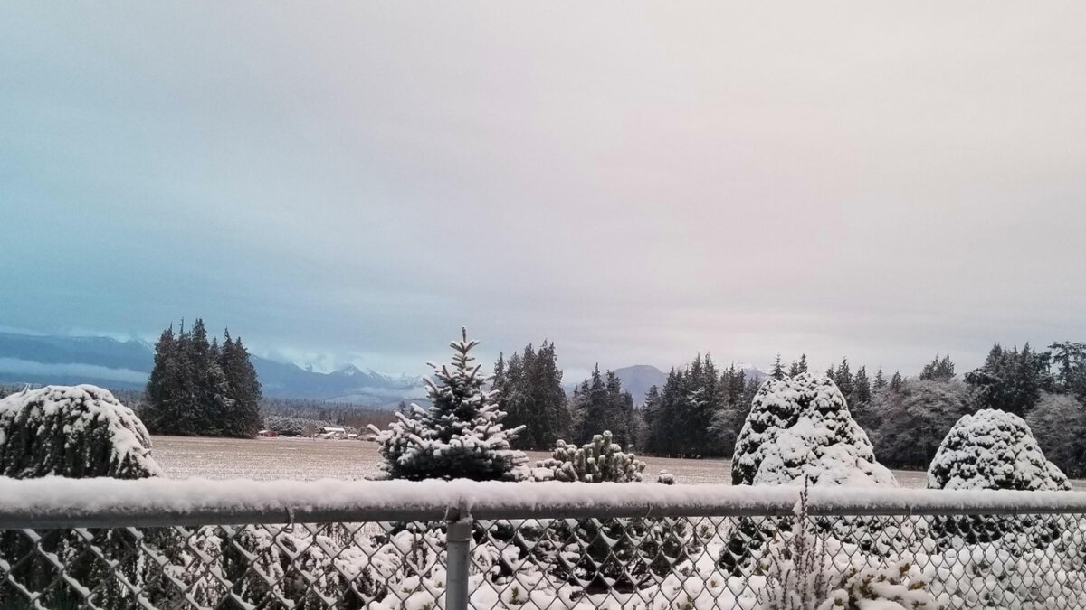
Western Washington could see its first lowland snow of the winter season this week, though chances of significant accumulation remain low.
A cool air mass will settle off the coast Monday, bringing showers through Wednesday and dropping snow levels to around 1,000 feet. Snow levels will fall further to 500 feet for the rest of the week. Any accumulating snow in lower areas will most likely occur overnight and during morning hours when temperatures bottom out.
Coastal areas from north of Hoquiam to the western Strait of Juan de Fuca have the best chance of seeing accumulation at lower elevations. Inland, some higher hills and scattered lower areas could see snow stick to grass and rooftops. Temperatures will run unseasonably cool all week, struggling to reach the lower to mid-40s during the day while dropping into the lower to mid-30s overnight. Icy spots on roadways are possible.
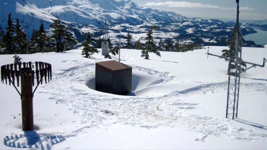
Total precipitation will be light given the scattered nature of showers. Lowlands will likely see less than one inch Monday through Friday. Mountains should receive 10 to 20 inches of new snow, a welcome addition to a struggling snowpack currently sitting at 35 to 47 percent of average for mid-February. Mt. Baker fared better at 61 percent of average after picking up 15 inches over the weekend.
The forecast through early March suggests near-average temperatures and wetter-than-average conditions, which should help mountain snowpack recover. Seattle-Tacoma International Airport last went through an entire winter without measurable snow in 1991-92 during an El Niño season.


