


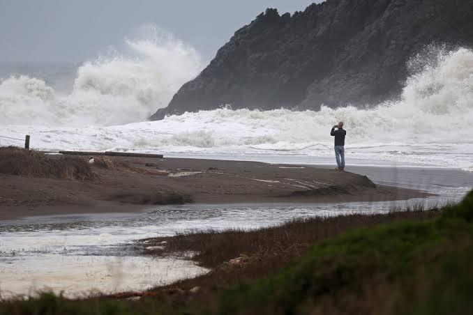
A newly published study is raising fresh concerns about the vulnerability of Washington’s coastal communities, warning that a powerful offshore earthquake could cause parts of the state’s coastline to suddenly sink by several feet—posing serious flooding and infrastructure risks.
Published in the Proceedings of the National Academy of Sciences (PNAS), the study focuses on the seismic threat posed by the Cascadia Subduction Zone—an area long known for its potential to generate devastating megathrust earthquakes. While the existence of this risk is not new, researchers say the possible land deformation and permanent changes to coastal geography have not been fully appreciated.
According to the findings, communities near Willapa Bay, including Long Beach, Tokeland, Ocean Park, and Raymond, along with areas of Grays Harbor like Ocean Shores, Westport, and Aberdeen, are among those most at risk of land subsidence.
“At the moment of the earthquake, the ground in many of those communities is going to go down by as much as two to six feet all of a sudden,” said Harold Tobin, Director of the Pacific Northwest Seismic Network.
Unlike gradual sea level rise caused by climate change, this type of subsidence would occur within minutes—significantly altering coastlines and expanding flood zones almost instantly.
The earthquake would likely be followed by a powerful tsunami, but even after the waves recede, the land could be permanently reshaped. The implications are serious: altered harbors, damaged coastal infrastructure, and newly redefined zones of habitability and risk.
Researchers also warn that if a major earthquake struck the Cascadia zone today, flood exposure in affected regions could double—impacting homes, roads, and other critical infrastructure.
The findings underscore the importance of proactive planning, emergency preparedness, and updated building and land-use policies along Washington’s vulnerable coastline.


